
No that is not the Cinder Knoll. Some guy said, oh yeah, you can go this way. Well guess what, no you can't unless you want to hike a few miles out of the way.
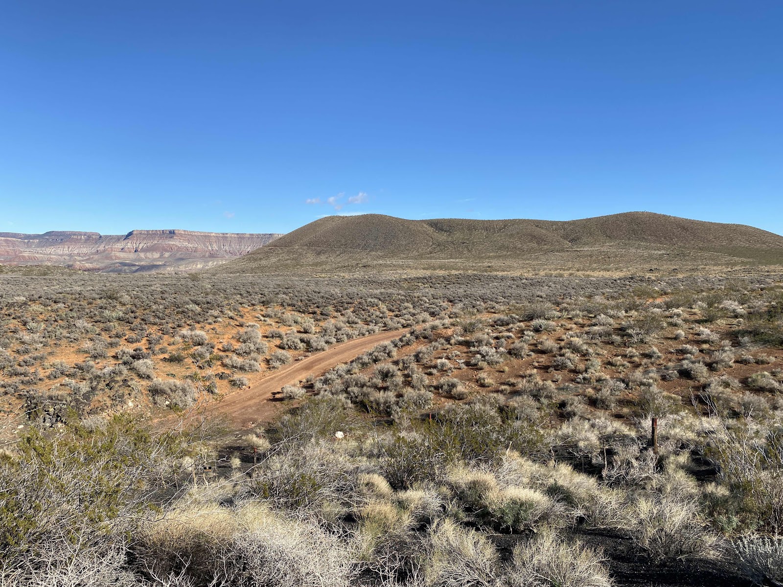
Oh yeah, she hiked up to the top of the wrong mountain. Tour guide decided not to go all the way up.


No, this is not the trail.

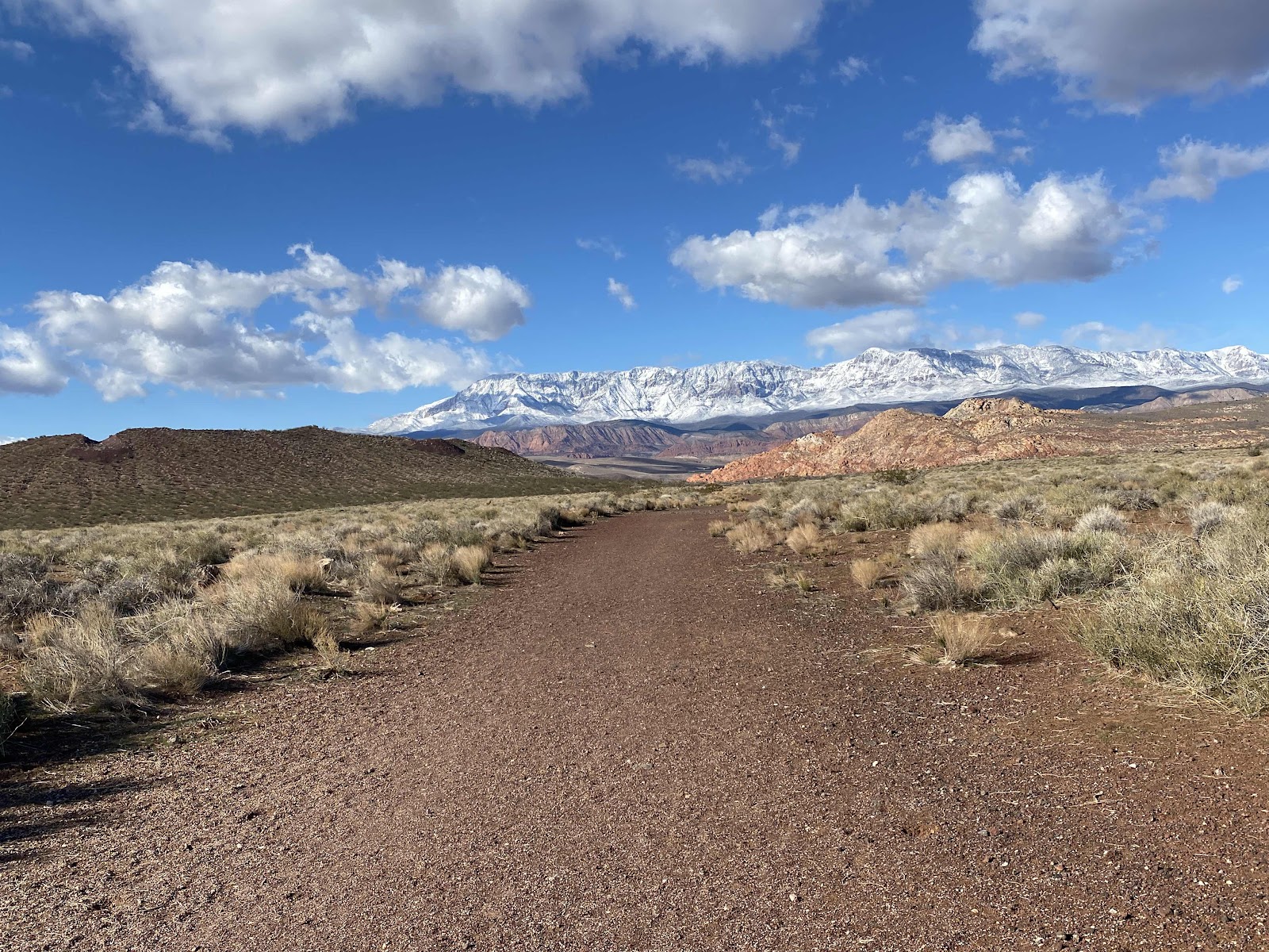
Yes, this is the way.
The bottom part of the Cinder Cone is probably 200 feet deep.


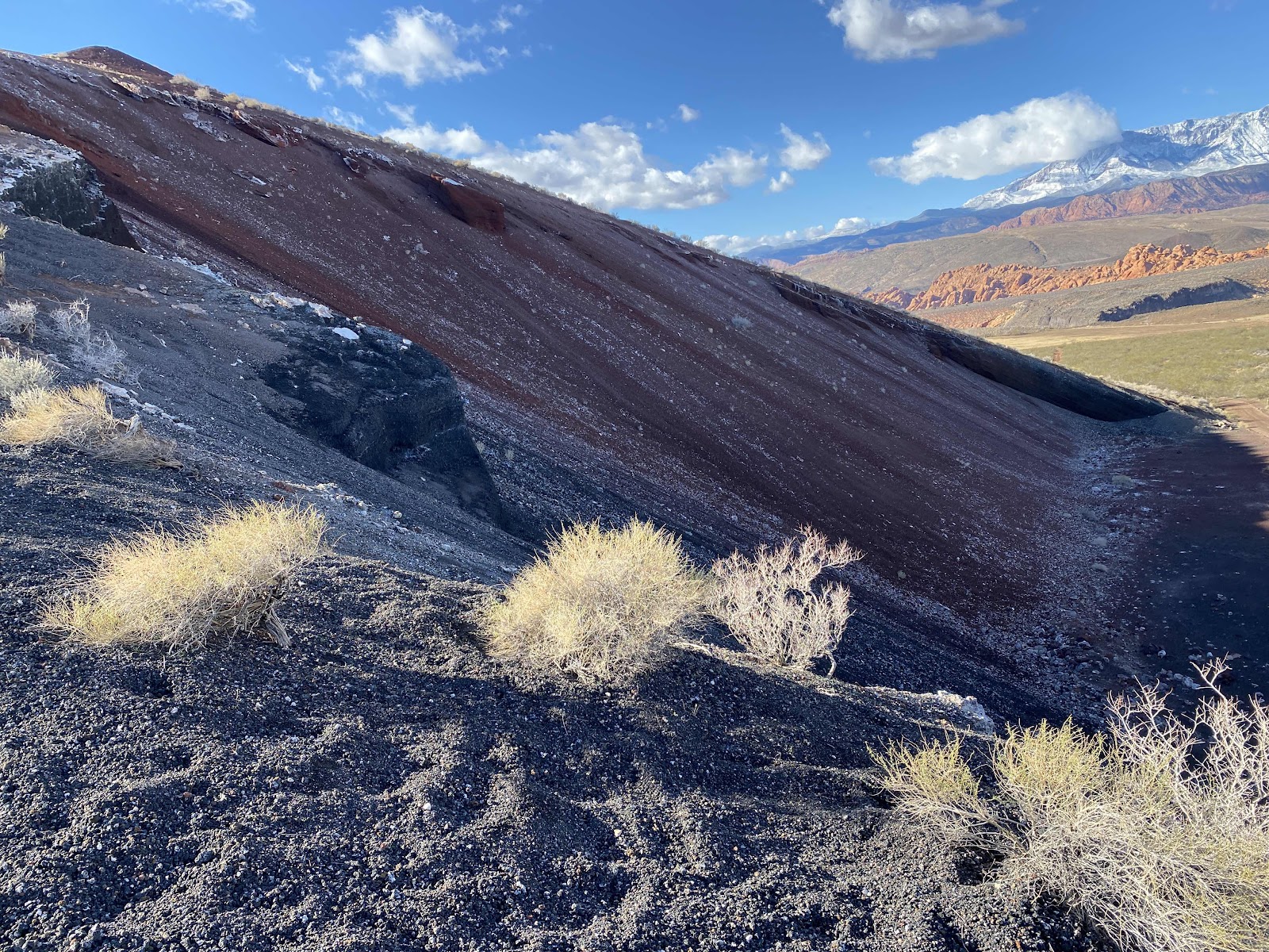


Mrs. tour guide almost at the top of the Cinder Cone.
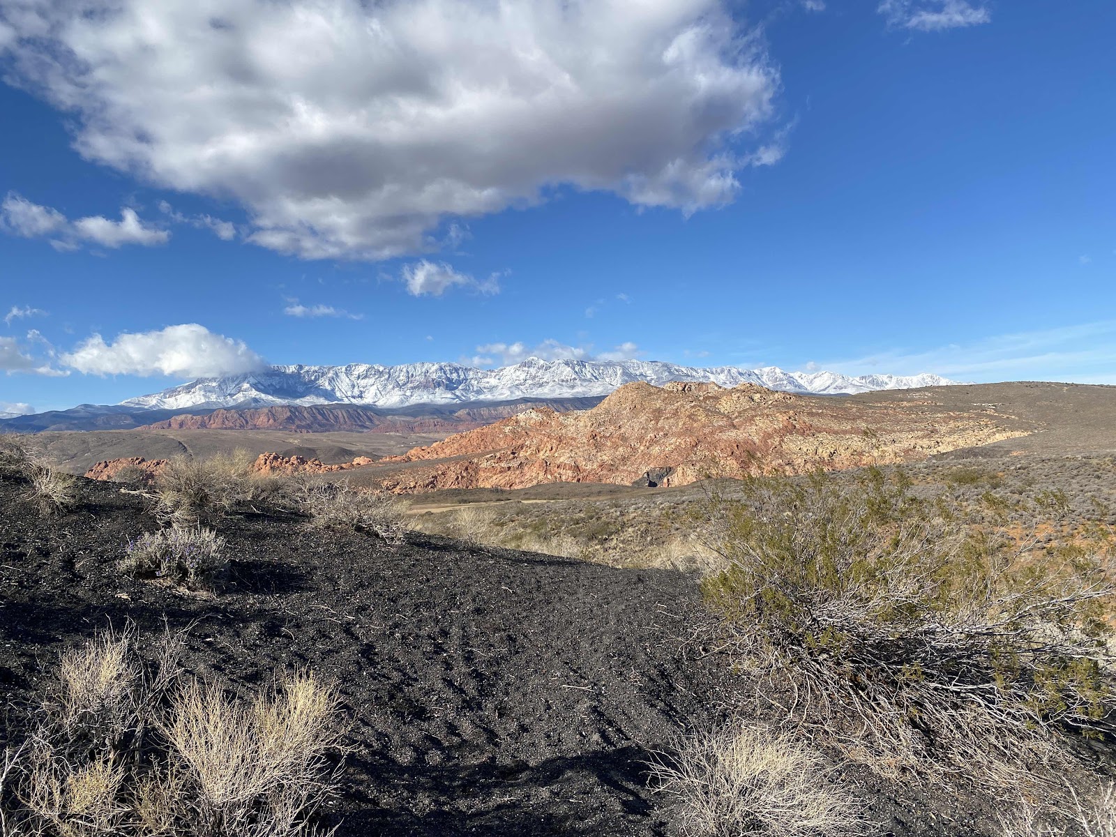
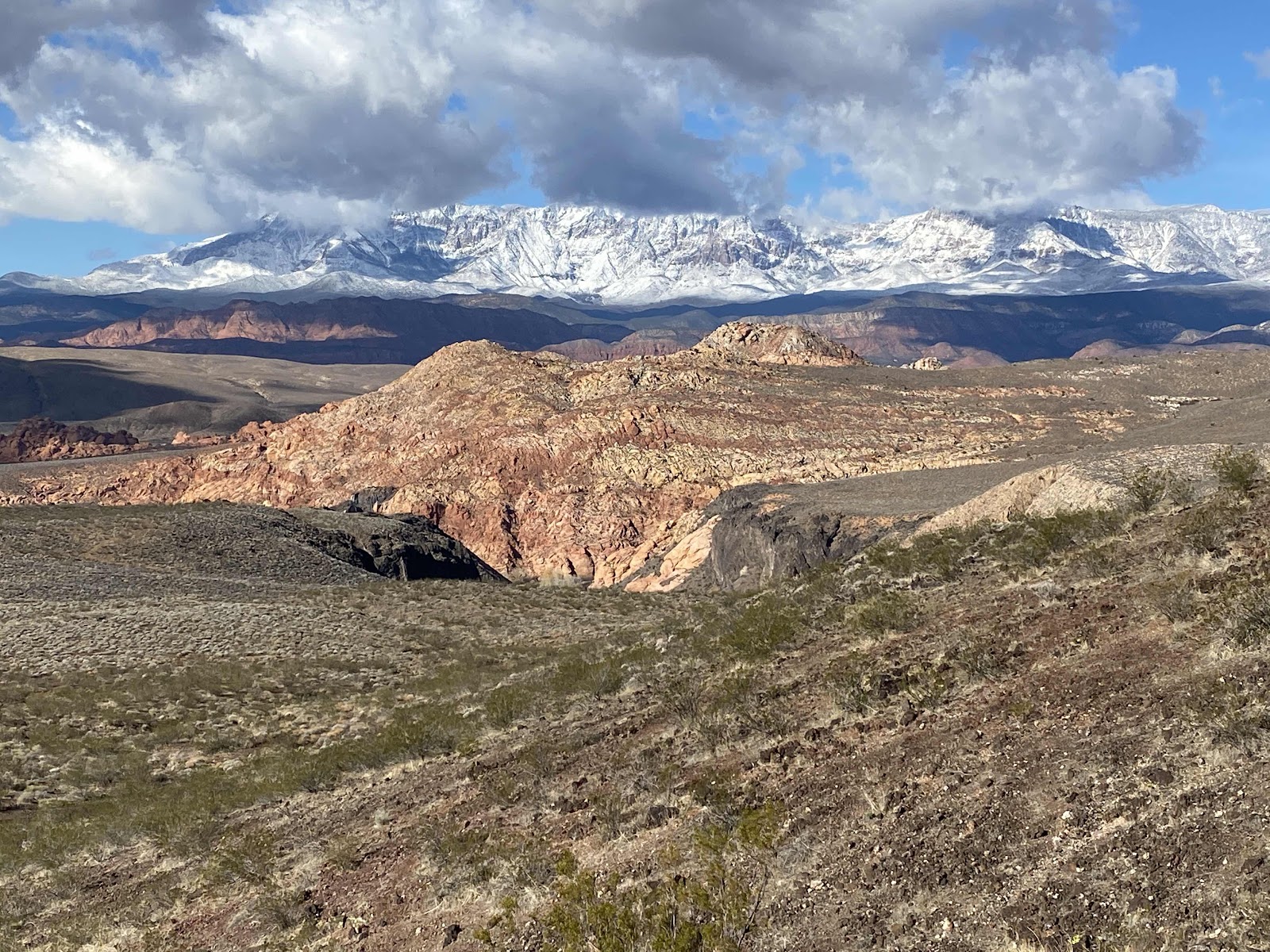
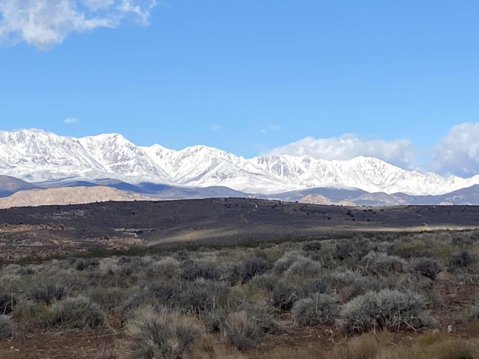
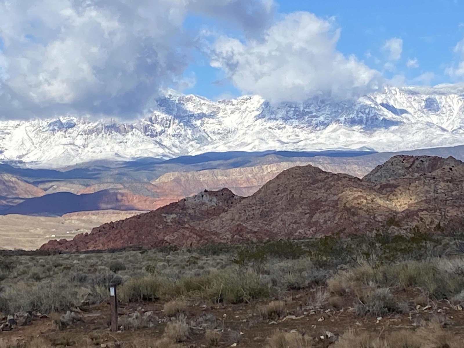
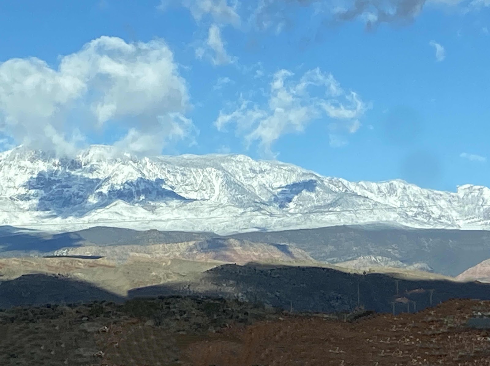
Now for some snow pictures in the Pine Valley Mountains off in the distance.
Pine Valley Mountains are a mountain range in Washington County, Utah, North of St. George. The highest point in the range is Signal Peak at 10,365 feet. The Mountains are part of the Dixie Forest and are bordered to the South by the Red Cliffs National Conservation area.
TTFN:
KW, I think I saw John Wayne in that first picture!
ReplyDelete