


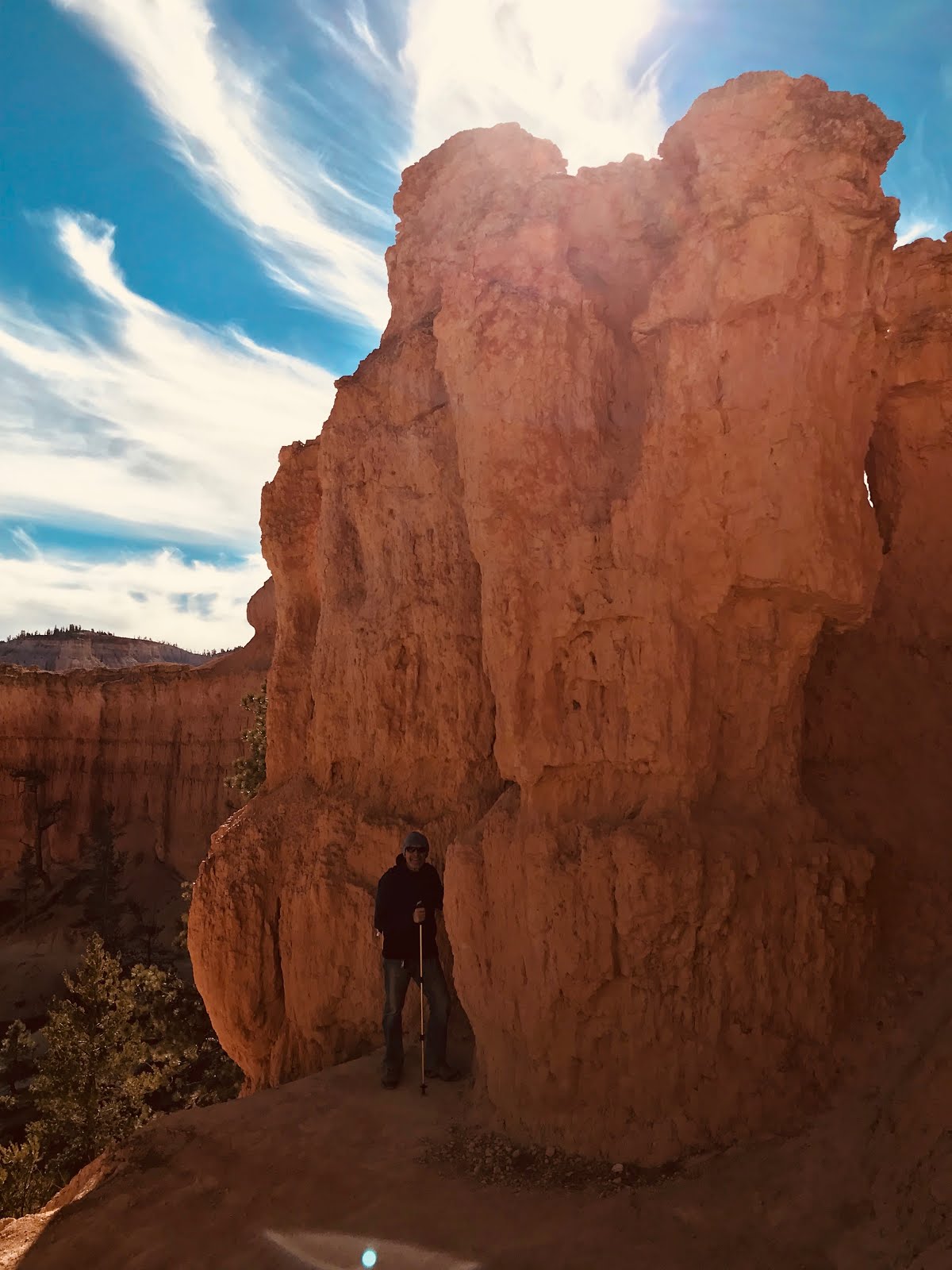


Hoodoos are tall skinny spires of rock that protrude from the bottom of arid basins and "broken" lands. Hoodoos are most commonly found in the High Plateaus region of the Colorado Plateau and in the Badlands regions of the Northern Great Plains. While hoodoos are scattered throughout these areas, nowhere in the world are they as abundant as in the northern section of Bryce Canyon National Park.
At Bryce Canyon, hoodoos range in size from that of an average human to heights exceeding a 10-story building. Formed in sedimentary rock, hoodoo shapes are affected by the erosional patterns of alternating hard and softer rock layers. The name given to the rock layer that forms hoodoos at Bryce Canyon is the Claron Formation.
Hoodoos are formed by two weathering processes that continuously work together in eroding the edges of the Paunsaugunt Plateau. The primary weathering force at Bryce Canyon is frost wedging. Here we experience over 200 freeze/thaw cycles each year. In the winter, melting snow, in the form of water, seeps into the cracks and freezes at night. When water freezes it expands by almost 10%, bit by bit prying open cracks, making them ever wider in the same way a pothole forms in a paved road.
Unfortunately hoodoos don't last very long. The same processes that create hoodoos are equally aggressive and intent on their destruction. The average rate of erosion is calculated at 2-4 feet (.6-1.3 m) every 100 years. So it is that Bryce Canyon, as we know it, will not always be here. As the canyon continues to erode to the west it will eventually capture (perhaps 3 million years from now) the watershed of the East Fork of the Sevier River.
TTFN:
Hoo Doo. Hoo Doo you think you're fooling. Hey KW, there's a song idea for you!
ReplyDeleteAgain beautiful pictures. I see you changed head gear twice my brother. I bought a hat here in Athens. A bsseball style cap actually, commemorating the 2004 Olympics. It was on sale for 6 euros.
We had a great day. Check the blog.